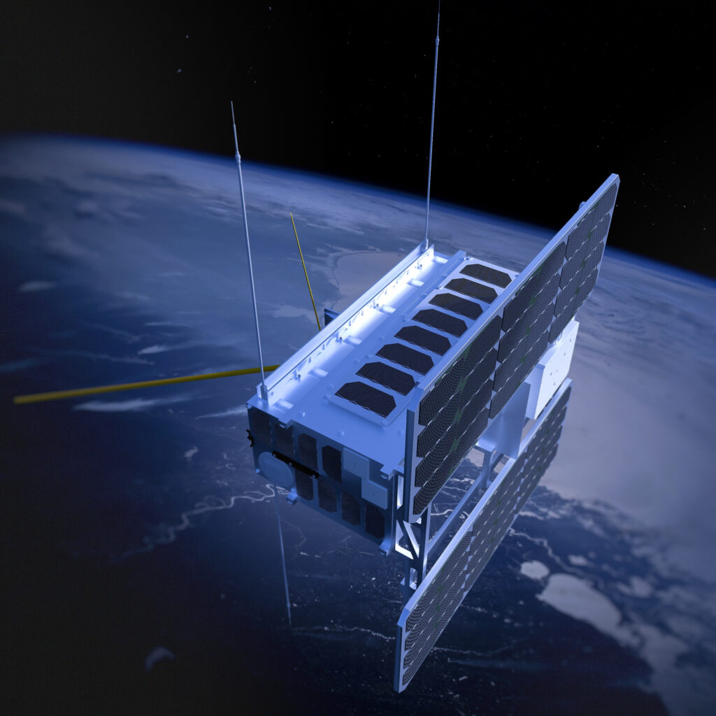
Andøya Space Sub-Orbital is currently working together with the Norwegian Mapping Authority on a project funded by the Norwegian Space Agency that aims to track objects in polar orbits. Space Surveillance and Tracking (SST) is an important tool in the satellite age.
– The last decade has seen a huge increase in the number of satellites orbiting the Earth, says Martin Flügge, Director Ground-Based Instrumentation at Andøya Space Sub-Orbital. – And it is especially in the smallest segment that the increase has been greatest, so-called small satellites.

– Norway also have a fleet of small satellites which perform important functions for us. The challenge all satellites have is that they themselves do not know whether they are on a collision course with other satellites or space debris. Satellites orbit at speeds of over 7.8 km/s. This speed holds so much energy that satellites simply explode in a debris cloud consisting of thousands of small pieces no larger than a few centimeters when they collide with each other or with space junk, says Flügge.
– Knowing which satellites are where and at what time is therefore extremely important, and in technical terms this is divided into two areas: Space Situational Awareness (SSA) and Space Surveillance and Tracking (SST). This particular project runs under SST.
Tracking satellites and space debris can be done in two ways, either actively or passively.
– Active tracking means that we use a radar or lidar that sends out its signals and receives echoes from things that are in orbit. Passive tracking is done using cameras that simply take pictures of the starry sky and analyse what was taken pictures of.
Andøya Space owns a very advanced radar that can be able to map objects in orbit down to a few centimeters in size.
– But the use of radars is very expensive, says Flügge. – That’s why we’re starting at the passive end, using camera systems that will initially be placed at Ny-Ålesund and Andøya.
The project is a collaboration between Andøya Space and the Norwegian Mapping Authority and has been awarded funding from the Norwegian Space Agency.
– In addition, we have a good dialogue with the German Space Agency, DLR, about this.
Satellites in polar orbits converge naturally across the polar regions before spreading outward towards the equator. Therefore, a mapping station far north will be able to see more satellites at the same time than similar stations further south.
The development process
The first part of the project is to develop methods and software for automating observations, and this is a task that is on the table of Senior Engineer Thomas Jordbru.
– When you delve into almost all types of tasks, you quickly discover that things are often more complicated than you first assume, says Jordbru. – And that is also true when it comes this project. The team at the Norwegian Mapping Authority has taken care of the heaviest analysis part of the images, where the biggest challenge is to carry out the analysis in near real time.
– Our first experience has been that images taken at low focal lengths increase analysis time and give us images with lower resolutions. We are now looking at a combination of high focal lengths (where you see a smaller part of the sky in each photo) and motorized cameras.
– Our part of the work includes creating, in collaboration with the Norwegian Mapping Authority, software that stitches the whole concept together, combined with automated camera control, says Jordbru. – Then we will test and validate everything, and the goal is that in the long term this can be further developed into a larger system for SST.
– Two observation sites lead to more accurate surveys. The completed system could, for example, be such that Ny-Ålesund takes a picture of a satellite and informs Andøya that in three minutes the same satellite will pass over Andøya. There will always be some uncertainty associated with the analyses, but by having repeated measurements/observations, this uncertainty will be significantly reduced, says Jordbru. – How this coordination will take place is also something we are looking at.
– This project is a continuation of a previous project in 2021, where we were contacted by DLR. Now we see the first concrete results, concludes Martin Flügge. – Together with the Norwegian Mapping Authority, we want to become one of the leading initiatives in this area in the long term.

