

More sustainable living includes reducing poverty and hunger, increasing health and well-being, ensuring quality education, having responsible consumption and production, as well as caring for life on land and in water.
These and other aspects of sustainability are included in the United Nations Sustainable Development Goals, adopted by the UN member states in 2015.
Satellites and the space sector enable and support these goals in many different ways. The importance of space for communities all over the world will only increase in the future as satellites take on even more essential tasks and become even more important to our societies.
Commerce, education, health services and more
Today, telecommunication satellites provide radio, TV and internet signals to all corners of the world. This communication is used for business, education, health services, entertainment, social contact, and much more.
Thus, satellites bring vital communication even to societies that are so remote or inaccessible that reaching them by transportation is difficult and costly, ensuring and transforming life here.
For example satellites enable small digital bank terminals in remote locations in Africa, increasing the potential for trade and productivity in these communities.
At the start of the Covid-19-pandemic, satellite-based telemedicine in Spain provided ambulance personnel quicker and more advanced help from specialist doctors that remained at the hospitals. This is just one example of how satellites through telemedicine may improve health services all over the world.
Essential functions for modern societies
Satellite navigation systems such as the American Global Positioning System, Europe’s Galileo, Russia’s GLONASS and China’s BeiDou provide signals for positioning, navigation and accurate time.
These systems are essential for navigation for transport, commerce, and emergency services, but also for accurate positioning data for the construction of buildings, roads, oil wells and other complex structures.
Satellite navigation systems also provide extremely accurate time. Such data are used in electrical and water grids, for financial transactions and in large computer systems, as well as other services vital to modern societies.
Today, satellite navigation systems enable the mobile services market and millions of commercial services and applications the world over. In the future, autonomous vehicles and their markets will depend on accurate and ubiquitous navigation signals provided by satellites.
Protecting the Earth’s natural environment
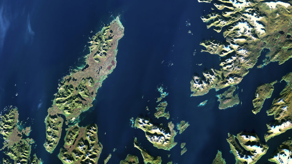
In order to protect the Earth’s natural environment and large-scale systems, we need to understand them and know how they change over time. This is the task of the Earth observation satellites.
Because satellites can cover enormous, remote and inaccessible areas quickly and regularly, they are perhaps the best way to monitor the Earth and its systems.
The European Copernicus program has, together with the European Space Agency, launched several operational satellites to monitor many different environmental factors.
For example, one type of this program’s satellites provide radar measurements of sea ice and snow cover to see how the world’s ice caps and snow masses change over time.
Another type of the Copernicus program’s satellites provide optical data of plant cover and vegetation, as well as of wetlands and coastlines. This is used for monitoring forest cutting, the health of food crops, coral reef bleaching, loss of wetlands due to drought or development, and more.
Copernicus’ Sentinel-3 satellites observe the oceans and its surface temperature, wave height, wind speeds, and several other environmental factors. These data are used for monitoring tropical storms that may threaten communities on land, or surface temperature and ocean acidity that indicate changes in the world’s climate, to mention only a few applications.
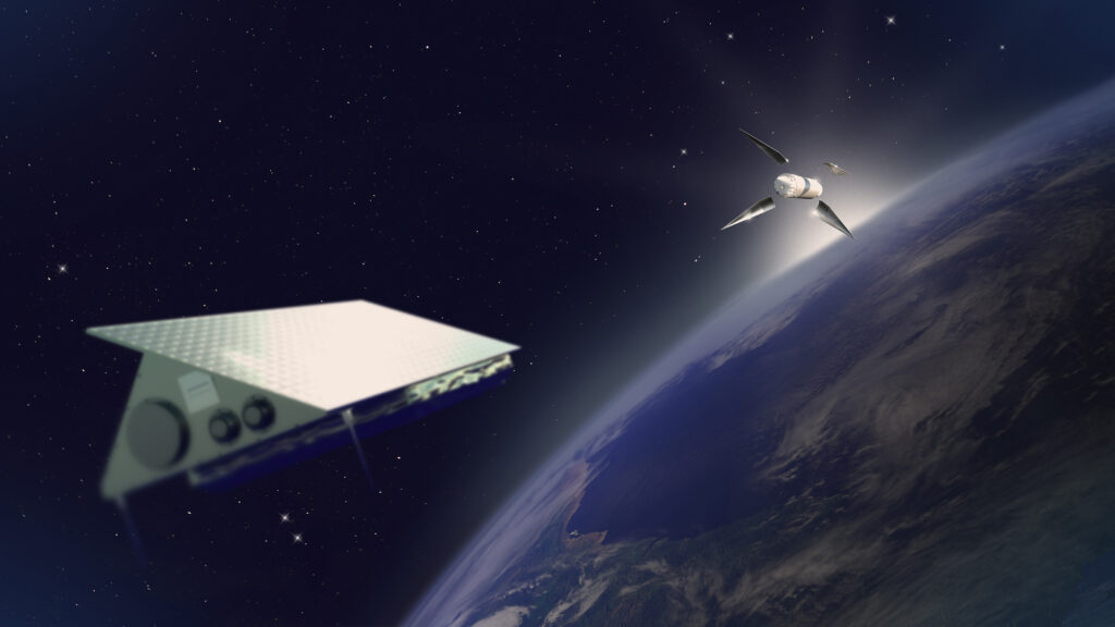
Smaller satellites in the future
As high technology becomes smaller and more accessible, satellites become smaller too, and can be built faster and cheaper, while still being able to perform the duties of larger satellites.
Norway’s national satellites, AISSat-1, AISSat-2, NorSat-1 and NorSat-2, are all small satellites. Their main task is to monitor ship traffic, used for managing marine resources and oil spill detection to protect life in the ocean.
HYPSO-1 and HYPSO-2 are Norwegian small satellites that will be launched in a few year’s time. They will be able to detect algal blooms in the ocean. In recent years such algal blooms have killed large amounts of fish and damaged the marine aquaculture business, important to many communities along the coast.
Most small satellites launched today are used for communication, but in the future, small satellites are expected to perform more and more Earth observation tasks. Thus, small satellites may play an increasingly important role in ensuring and enabling sustainability all over the world in the years to come.
More information
Do you have questions about the Norwegian spaceport?